10 users
$890USD / year
$89 per user / year
Request this packageBring your own maps. Record what matters. Take your fieldwork from a single phone to the whole team.


CONTOUR INTERVAL 20 m ILLUSTRATIVE TERRAIN
Work with maps, coordinates and field records in one app. Explore the guides for the tools and workflows available on each platform.
Prepare your maps before heading out. Use downloaded and imported maps and record field data offline. Search, new downloads and team synchronization require connectivity.
UTM, MGRS, WGS84 display and input. Real-time conversion, area and azimuth tools.
Choose symbols for map points with identity, status and echelon settings. Export their attributes to GeoJSON.
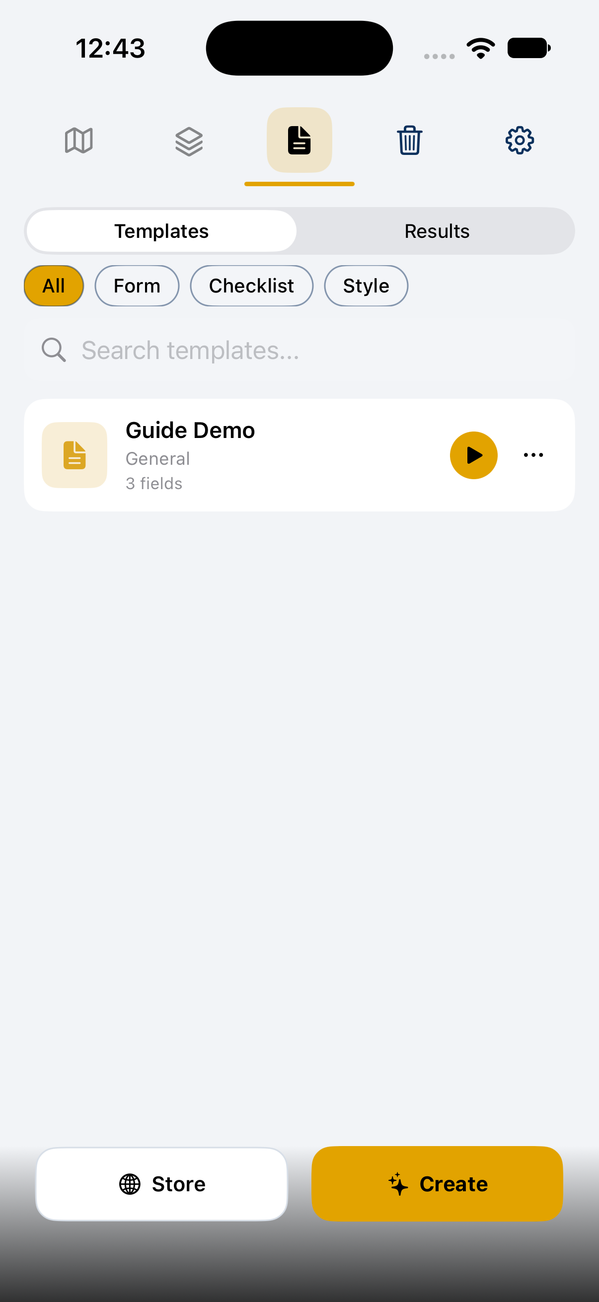
AI-powered custom form templates. Manual, import from Excel/Word, or photo OCR. Community template store.
Shared live positions, layers, and AES-GCM encrypted chat. QR join, 24h auto-expiry.
Record tracks with elevation and speed. Export to GeoJSON, Shapefile, or GeoPackage.
Shapefile, GeoPackage, GeoTIFF, KML — import, edit, and re-export with full attribute tables.
Coordinates on your wrist, track start/stop, geofence alerts — hands-free field operations.
Explore real app screens and try maps, templates and fieldwork tools at your own pace.
Download free. Upgrade when you need more. Check your app store for local prices and subscription terms.
FOR ORGANIZATIONS
Annual corporate licenses with Team features for 10, 50, 100 or 250 named users. Choose your team size and talk to us about getting started.
$890USD / year
$89 per user / year
Request this package$3,950USD / year
$79 per user / year
Request this package$6,900USD / year
$69 per user / year
Request this package$14,750USD / year
$59 per user / year
Request this packageTell us about your organization. We’ll prepare a tailored quote.
What’s included
Team app features for the named users in your package. Training, custom integrations and additional services are quoted separately.
How to get started
Send a request → agree the scope → receive a payment link or invoice → arrange license activation with us.
Annual subscriptions renew until canceled. Prices are in USD; applicable taxes may be added. Corporate sales are handled by The Nero Labs LLC. Individual app-store purchases remain separate.
Start with your own maps and field records.
Download MapNero free — no account required.